
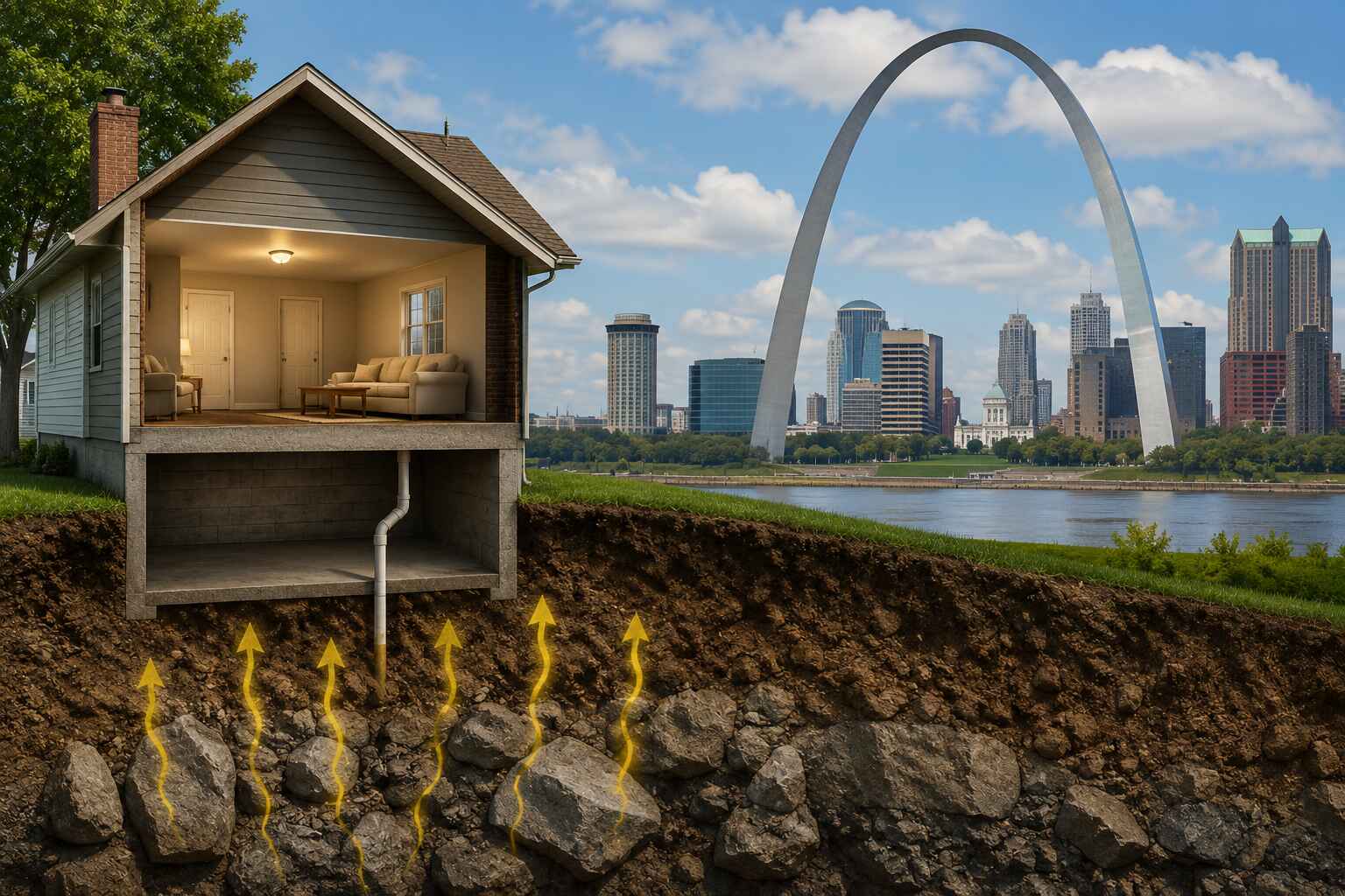
Ever wonder why radon comes up so much in conversations around St. Louis specifically, more than it seems to in other parts of the country? It’s not a coincidence, and it’s not local paranoia either. There’s an actual map behind it, put together by the EPA decades ago, and St. Louis lands squarely in the zone that gets the most attention. Let’s break down what that map really means, why the ground under this region behaves the way it does, and what it should actually change about how you approach your own home.
What the EPA Radon Zone Map Actually Shows
The Three Zone Categories, Broken Down Simply
The EPA divides the entire country into three radon zones based on predicted average indoor radon levels for each county. Zone 1 counties have a predicted average above 4 pCi/L, the same number used as the action threshold for mitigation. Zone 2 counties sit in a moderate range, generally between 2 and 4 pCi/L. Zone 3 counties fall below 2 pCi/L on average. Think of it like a weather forecast for radon risk instead of rain, it’s a prediction based on geology, not a guarantee for any single address.
Where St. Louis Falls on the Map
Much of the greater St. Louis metro area, spanning both the Missouri and Illinois sides, sits in Zone 1. That’s the highest risk category the EPA assigns. It’s not a fluke or an outlier reading, it reflects consistent geological patterns across the region that have shown up in testing data for years.
Why the Ground Beneath St. Louis Matters So Much
Geology and Uranium Deposits in the Region
Radon comes from the natural breakdown of uranium found in soil and rock. The Midwest, and the St. Louis region specifically, sits atop geological formations with naturally higher uranium content than a lot of other parts of the country. As that uranium decays underground, it produces radon gas as a byproduct, and that gas doesn’t just stay put. It moves through whatever gaps it can find, working its way toward the surface and, eventually, into homes built on top of it.
How Limestone and Karst Terrain Play a Role
St. Louis sits on a lot of limestone bedrock, and limestone regions often develop what’s called karst terrain, meaning cracked, porous rock formations riddled with fissures and small cavities. That kind of terrain is basically a superhighway for gas movement. Instead of radon having to fight its way slowly through dense, solid rock, it travels more freely through these natural channels, making its way toward foundations sitting right on top.
The Missouri and Illinois Side Aren’t Identical
While both sides of the river fall largely into Zone 1, the specific soil composition, water table depth, and bedrock type can vary from one county to the next, and even from one neighborhood to another. St. Charles County, St. Louis County, Madison County, and St. Clair County all share the general risk profile, but the exact numbers on any given street can still differ based on very local geology.
Why Zone Ratings Don’t Tell the Whole Story
House-to-House Variation Even on the Same Street
Here’s where a lot of people get tripped up. Two houses right next to each other, same soil, same general geology, can post wildly different radon readings. Why? Because so much depends on the individual house itself, foundation type, how many cracks exist, whether there’s a sump pit, how tightly sealed the home is. It’s a bit like two people standing in the same rainstorm, one under an umbrella and one without. Same weather, completely different outcome based on individual circumstances.
Why a “Low Zone” Rating Doesn’t Mean Zero Risk
Even homes technically sitting in Zone 2 or Zone 3 areas can post elevated radon readings. The zone map is a helpful starting point for understanding regional patterns, not a personal guarantee about any specific address. The EPA has been clear about this from the start, the map identifies areas where testing should be prioritized, it doesn’t replace testing altogether.
What This Means for Homeowners in the Area
Testing Regardless of What the Map Says
Given all this, the smartest move for anyone in the St. Louis region is straightforward, test your home regardless of what zone you technically fall into. Radon Testing St. Louis professionals perform gives you an actual number specific to your house, rather than relying on a countywide average that may or may not reflect what’s happening under your particular foundation.
Mitigation Decisions Based on Actual Numbers, Not Zone Color
Zone classification shouldn’t be the deciding factor on whether you install a mitigation system. Your actual test result should be. If your number comes back at or above 4 pCi/L, mitigation is worth pursuing regardless of whether you’re sitting in the reddest part of the map or a lighter-colored county nearby.
Living With Confidence in a Higher-Risk Zone
Making Radon Testing St. Louis Routine, Not a One-Time Event
Living in a Zone 1 region doesn’t mean panicking every time radon comes up, it means treating testing as a normal part of homeownership, the same way you’d check smoke detector batteries or service your furnace. A test every couple of years, or after any major renovation, keeps you informed without turning it into a constant worry.
Building a Relationship With a Trusted Mitigation Provider
Having a reliable contractor you can call, rather than scrambling to find one the moment a test comes back high, makes the whole process a lot less stressful. A dependable Radon Mitigation St Louis provider can handle both testing and installation, and having that relationship already in place means you’re not starting from zero if your numbers ever shift. If you want a clearer sense of what a system typically costs in this region, this radon mitigation pricing guide breaks it down. For the full interactive version of the zone map itself, the EPA’s radon zone map lets you check your exact county’s classification directly.
Conclusion
St. Louis sits in the EPA’s highest radon risk category for real geological reasons, uranium-rich soil, karst limestone terrain, and bedrock that lets gas travel more freely than in a lot of other regions. But a zone rating is a starting point, not a verdict on your specific house. The only way to know your actual exposure is testing your own home, and the only way to fix a problem if one shows up is a properly designed mitigation system built around your foundation, not a generic assumption based on a map color. Between routine radon testing St. Louis families rely on and a trusted mitigation provider on speed dial, living in a higher-risk zone becomes a manageable fact of life instead of a constant source of worry.
FAQs
1. Does living in an EPA Zone 1 area guarantee my home has high radon?
No, zone classification reflects countywide averages, not individual results. Your actual home could test high, low, or right around the action level regardless of the zone it sits in.
2. Why does St. Louis specifically have higher radon risk compared to other regions?
It comes down to local geology, particularly uranium content in the soil and karst limestone terrain that lets radon gas travel more easily toward the surface.
3. Can two neighboring homes have completely different radon levels?
Yes, and it happens often. Differences in foundation type, cracks, sump pits, and how sealed a home is can lead to very different readings even next door to each other.
4. Should I still test if I live in a Zone 2 or Zone 3 area near St. Louis?
Yes, testing is still worthwhile regardless of zone classification, since individual home results can vary from the broader regional average in either direction.
5. How often should homes in high-risk zones like St. Louis be retested?
Every two years is a reasonable baseline, with additional testing recommended after any major renovation, foundation work, or noticeable changes to your home’s structure.